| Top Page | Mountains, Valleys & Waterfalls |
|
Mt. Takeda (411m) |
|

|
|
|
Gion Town Asaminami Ward Hiroshima City | |
|
武田山 祇園町 | |
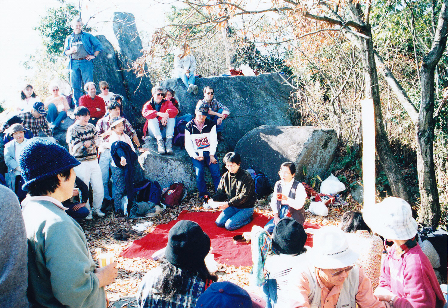
| Map | An open-air tea ceremony on the top of Mt. Takeda |
|
Mt. Takeda, a familiar destination for a hike among local residents, can be seen easily to the north from
downtown Hiroshima. During the14th and 15th centuries, there was a castle named Kanayamajo on this 411-meter peak which once overlooked the lower delta of the Ota River, an area that is now Hiroshima City. It is said that Nobumune Takeda, then governor of Aki province, built the Kanayama Castle at the beginning of the14th century in an area that had already prospered as a center for transportation. The castle was an ideal strategic point for the defense of this area. However, in 1541, it was attacked and destroyed completely by a great warlord, Motonari Mori, who had risen from being a common warrior in Yoshida (now Aki-Takata City) to become a daimyo, a feudal lord, and ruled the whole Chugoku region. Hiroshima Castle was originally built by his grandson, Terumoto Mori. From Shimo-Gion Station on the Kabe Line, walk south for 200 meters and turn right to the mountain side. Then cross the railway tracks and walk up for 30 minutes toward Takedayama Ikoi no Mori (武田山憩の森),which literally means Mt. Takeda Relaxation Forest. From there take a 45-minute ascent to the mountaintop. Getting there: Take a train on the Kabe Line from Hiroshima Station and get off at Shimo-Gion Station. Suggested schedule: Hiroshima Sta.(9:02)===(Kabe Line)===Yokogawa Sta.(9:12)=== ===Shimo-Gion Sta.(9:23)----Takedatama Ikoi no Mori(9:50-10:00)--- ---Mt.Takeda(11:00-12:00)----Takedayama Ikoi no Mori(13:00)--- ---Shimo-Gion Sta.(13:49)===(Kabe Line)===Yokogawa Sta.(13:58)=== ===Hiroshima Sta.(14:03) *Train timetables may be subject to change. Note: To be safe, especially in winter, keep in mind not to go into the mountains alone, and be sure to go with a well-experienced hiker. |
|