| Top Page | Mountains, Valleys & Waterfalls |
|
Mt. Ryuo (575m) |
|
|
|
|
Saijo Town Higashi-Hiroshima City | |
|
龍王山 西条町 | |
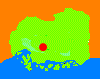
| Map | The 575-meter Ryuo Mountain is the best place to view a famous sake town, Saijo, which is situated in a basin 200-250 meters above sea level. |
|
In ancient times, Saijo prospered as the center of the government in Aki Province and its economy and
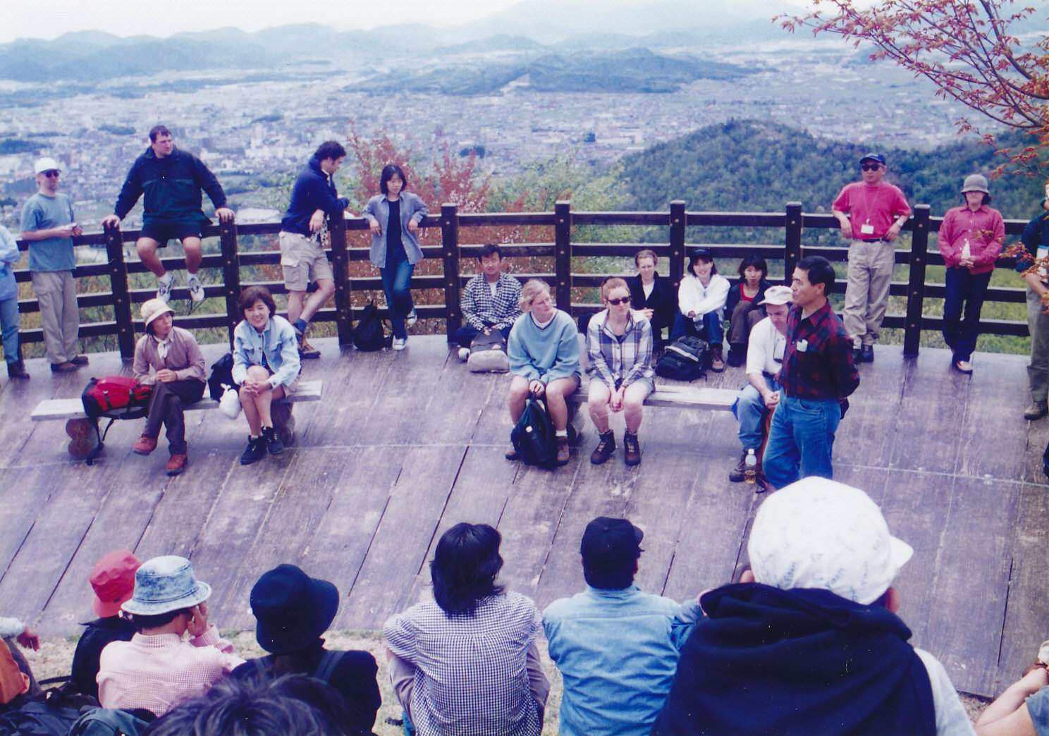
transportation flourished. So there are rich historic remains there. One of the remains is the 92-meter-long and keyhole-shaped Mitsujo Burial Mound which is the largest in Hiroshima Pref. It is believed to be a tomb of a powerful family in the fifth century. Another is Aki-Kokubunji Temple site which is 210 meters broad from east to west. It is said the temple was constructed in 741 on the orders of Emperor Shomu as one of about 60 Kokubunji temples which were built in all provinces in the nation, praying for getting rid of epidemics and bad harvests. Another is Ochaya-Honjin (an official ryokan for the provincial lord) site. In the Edo period (1603-1867), this area was called Saijo-Yokkaichi, and was busy as the largest post town on the Sanyodo Highway in Aki Province. There was a ryokan (inn) which served as the headquarters for lords of Hiroshima's Clans when they visited this area. Saijo has a good reputation for sake brewing throughout Japan. A total of eight sake makers, whose buildings of wood with white earthen walls and brick-made chimneys, line the streets on the east side of Saijo Station. Saijo is blessed with a suitable climate for sake fermentation in winter, good varieties of rice for sake such as the Hiroshima-Hattan variety, well-skilled brewers whose techniques were passed down for 300 years and the best soft water with few minerals. It is said that a representative Saijo sake producer uses as many as 80 tons of spring water a day, pumping up from wells, during the winter sake fermentation time. Scientists at Hiroshima University figured out that the water is taking as long as 10 to 15 years to reach these wells from the Mt. Ryuo area, where rainwater soaks deep into the mountain. The south side of Mt. Ryuo has been developed as a beautiful forest park named "Citizens' Forest" . In mid-April, local residents, particularly, and many hanami (cherry blossom viewing) enthusiasts are fascinated by a grove of some 1,500 cherry trees just below the mountaintop. From JR Saijo Station walk west along the Sanyo Line's railroad, and cross under the track and head north to the Citizens' Forest for two kilometers. From the management office of the Citizens' Forest a one-kilometer mountain trail leads you up to the top of Mt. Ryuo. Getting there: Take a train on the Sanyo Line at Hiroshima Station, and get off at Saijo Station. Suggested schedule: Hiroshima Station(9:01)==(Sanyo Line)==Saijo Station (9:37)--- ---Citizens' Forest Management Office (10:30)---Mt. Ryuo (11:30-12:30)--- ---Management Office (13:00)---Saijo Station---Sake Brewerys' Street (14:00-15:30)--- ---Saijo Station (16:09)==(Sanyo Line)==Hiroshima Station (16:46) *Train timetables may be subject to change. Note: To be safe, especially in winter, keep in mind not to go into the mountains alone, and be sure to go with a well-experienced hiker. |
|