| Top Page | Mountains, Valleys & Waterfalls |
|
Mt. Mikura (701m) |
|
|
|
|
Kuritani Otake City | |
|
三倉岳 | |
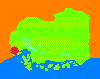
| Map | An area around Mt. Mikura is designated as a Hiroshima prefectural nature park. |
|
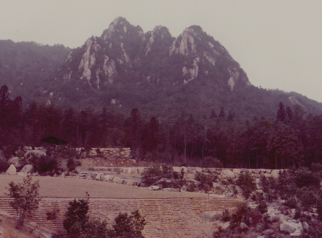
Mt. Mikura, a beautiful three-spear-shaped mountain of granite, is situated in the north of Otake City
which is 30 km west of Hiroshima City. These three spears are named from the eastern lowest one
as Morning Sun, Middle, and Evening Sun Peaks, which is the highest. They are well-known
as a mecca for the lovers of rock climbing.
It commands a magnificent 360-degree view from the western Chugoku mountains to the Seto Inland Sea. There are three trails called A, B and C courses to reach the mountaintop. To conquer all three peaks in order of height, take the B course for a 2.5-hour ascent, and take the A course for a 1.5-hour descent. About 4 kilometers south of Mikura mountain is Jakuiiwa Rock, which is named after a legend that snakes from the mountain ate the rock. It is a big rock on the riverbed of the Ozegawa River, measuring 30 meters wide and 80 meters long , which has many strange giant kettles caused by water erosion over a long period of time. The rock is located at a meeting point between the Ozegawa River and a tributary, Kujima River. It is believed that small stones enter crevices of the riverbed rock of granite, a complex and strong current made the pebbles move around rapidly in it, and made many unique kettle-like holes. Getting there: Go by car. Take Route 2 to Otake. Turn right and take Route 186 at Otake City municipal office to Kuritani. Drive past Yasaka Dam and soon after passing Kuritani-shisho (Kuritani branch office of Otake City), turn right to the mountain. Suggested schedule: Hiroshima(8:40)===(Rte.2)===Otake===(Rte.186)===Kuritani=== ===Mikuradake Open Square(10:00)----Morning Sun Peak----Middle Peak--- ----Evening Sun Peak(12:30~13:30)----Mikuradake Open Square(15:00)---- ===Jakuiiwa Rock(15:30~16:00)===(Rte.186)===Yasaka Dam===Otake=== ===(Rte.2)===Hiroshima(17:30) Note: To be safe, especially in winter, keep in mind not to go into the mountains alone, and be sure to go with a well-experienced hiker. |
|