| Top Page | Mountains, Valleys & Waterfalls |
|
Mt. Kannokura (562m) |
|
|
|
|
Shiraki Town Asakita Ward, Hiroshima City | |
|
神の倉山 白木町 | |
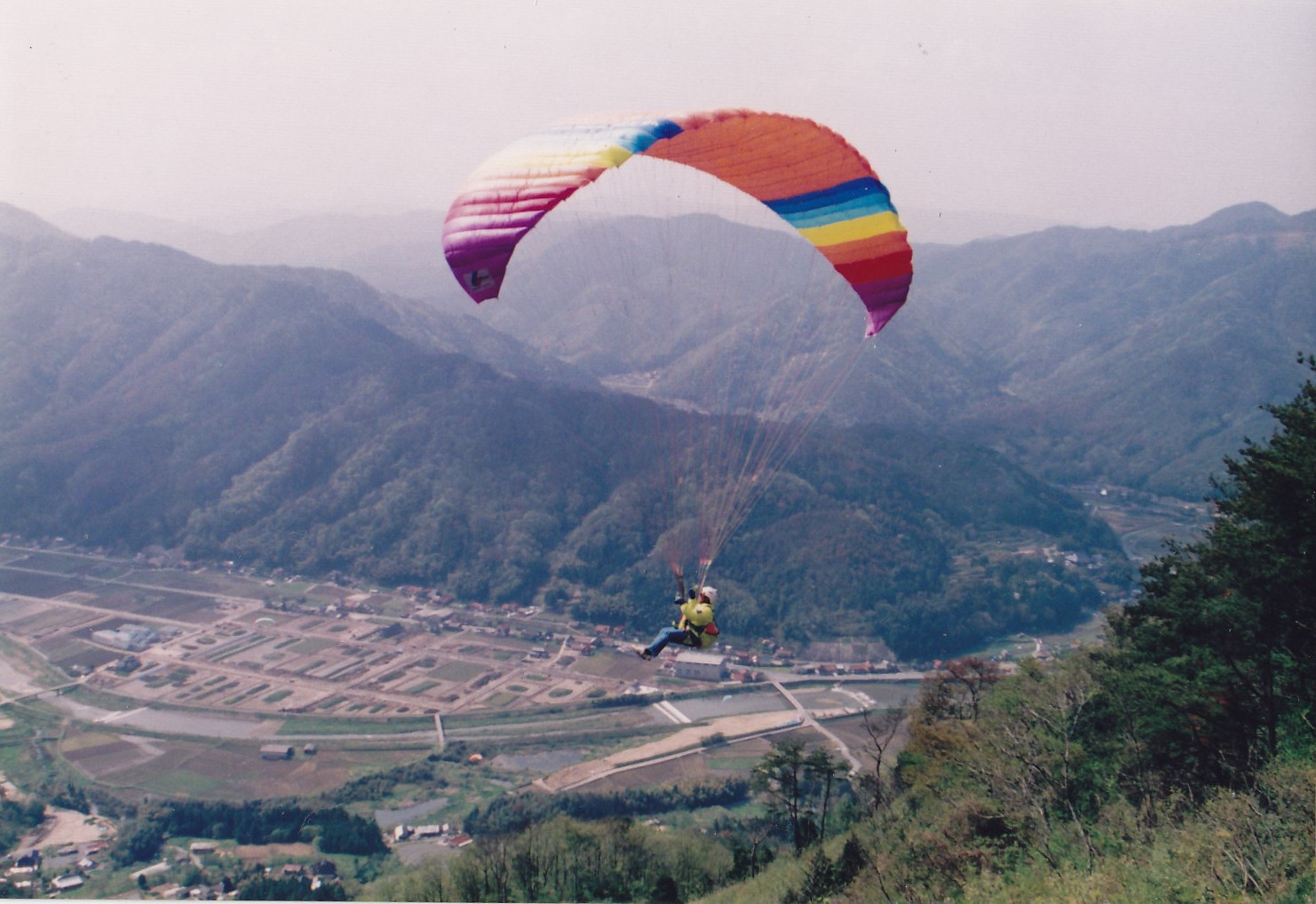
| Map | On weekdays there are many enthusiastic aviators flying high above Mt. Kannokura. |
|
Mt. Kannokura, 40 km northeast from central Hiroshima, is situated on the border between
Hiroshima City and Mukaihara Town, Aki-Takada City. The mountain has been developed into a beautiful forest park by a local man. He kept on planting cherry trees on the entire mountain for years. Now there are several thousand cherry trees along with many azaleas, wisteria and so forth. The cherry trees on the 562-meter mountain usually begin to bloom at the middle of April, a couple of weeks later than those of the coastal area of Hiroshima. The mountain is also known as one of the best places for hang-gliding and para-gliding. A splendid view from Hiroshima Bay to the Chugoku Mountains can be seen. There is a guideboard in front of Ibaraichi Station showing the way to Mt. Kannokura. The ascent to the top of the mountain will take 1.5 hours from the station. Getting there: Take a train on JR Geibi Line and get off at Ibaraichi Station. From the station. Suggested schedule: JR Hiroshima Station(9:00)==(Geibi Line)==Ibaraichi Sta.(9:58)--- ---Mt. Kannokura(11:30-12:30)---Ibaraichi Sta.(14:51)=== ==(Geibi Line)===Hiroshima Station(15:48) *Train timetables may be subject to change. Note: To be safe, especially in winter, keep in mind not to go into the mountains alone, and be sure to go with a well-experienced hiker. |
|