| Top Page | Mountains, Valleys & Waterfalls |
|
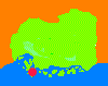
Mt. Hiyama (408m) |
|
|
|
|
Kurahashi Town Kure City | |
|
火山 | |
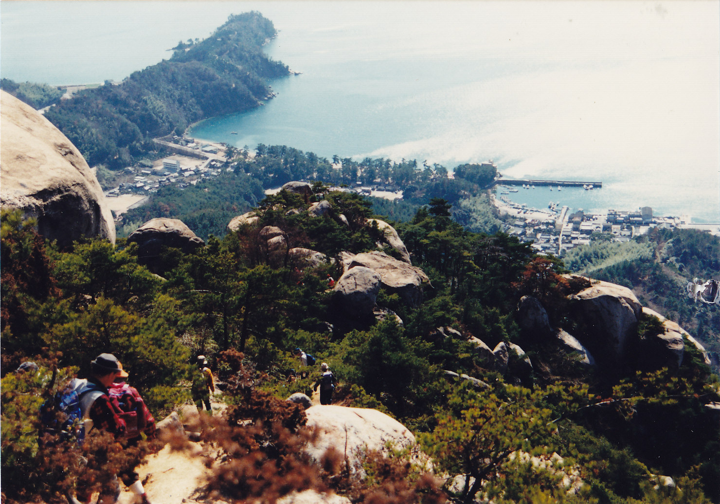
| Map | Hikers go down to Katsuragahama Beach from Mt. Hiyama |
|
Mt. Hiyama is located on Kurahashi-jima, the largest island in Hiroshima Prefecture. From the Uwaki Pass trailhead take a one-hour ascent up Mt. Hiyama or "fire mountain". You are greeted by 88 stone Buddhist images on the way up the mountain. The origin of the mountain's name, it is said, came from naval forces' signal lights at the top in old times. A huge boulder sits on the summit. From there a breathtaking panoramic view of the Seto Inland Sea can be seen. Taking a different trail down the mountain is recommended. Go down, passing some mikan (Japanese oranges) orchards, to Katsuragahama Beach where there are rows of beautiful green pine trees. At the beach, there is a hot-spring facility named Katsuragahama Onsenkan (Katsuragahama Spa House). The bathing charge will be 600 yen per person. There is also the Nagato Shipbuilding History Museum at one end of the beach. The main exhibit is a replica of the Kentoshi-sen which was the ship for the Japanese envoys who crossed the sea to China in the 7th to 9th century to learn about the Chinese legal system and culture. It is said that this is the place the original ship was built. Getting there: Take a 54-minute bus ride bound for Kurahashi Katsuragahama Onsenkan from in front of Kure Station and get off at Kurahashi Uwaki bus stop. Walk for 10 minutes to Uwaki Pass where a trailhead of Mt. Hiyama is. Suggested schedule: Hiroshima Sta.(8:07)==(Kure Line)==Kure Sta.(8:56-9:20)== ==(Bus)==Kurahashi Uwaki(10:20)---Uwaki Pass(10:30)--- ---Mt. Hiyama(11:30-12:30)---Katsuragahama Beach(13:30-14:50)=== ==(Bus)==Kure Sta.(15:55-16:11)==(Kure Line)==Hiroshima Sta.(16:59) *Train and bus timetables may be subject to change. Note: To be safe, especially in winter, keep in mind not to go into the mountains alone, and be sure to go with a well-experienced hiker. |
|