| Top Page | Mountains, Valleys & Waterfalls |
|
Mt. Gokurakuji (693m) |
|
|
|
|
Hera Hatsukaichi City | |
|
極楽寺山 | |
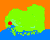
| Map | Mt. Gokurakuji is located in Hatsukaichi City and is a part of the Seto Inland National Park. Gokurakuji Temple, surrounded by a virgin forest of firs, is on the top of Mt. Gokurakuji. |
|
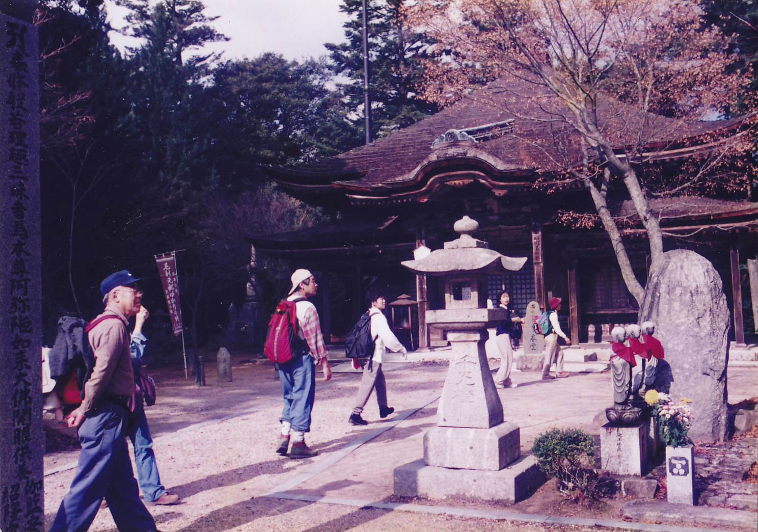
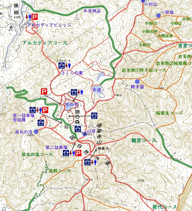
Gokurakuji Temple is said to have been founded in 731 by a Buddhist saint, Gyoki. According to the temple's history, when Gyoki visited Miyajima Island in the mid 8th century, he looked at the opposite side of the sea, and found a big shining cedar on this mountain. He sculpted it to make a Senju Kannon, a Buddha statue with a thousand hands, and built a temple to store this statue which became the temple's principal image. It is said the present temple's main hall, whose roof was covered with shingles of persimmon wood, was reconstructed by a great warlord, Motonari Mori, in 1562 and was repaired several times in the Edo period (1600-1867). The waniguchi (crocodile's mouth) copper gong which has a cast inscription dated 1493 is designated as one of the the prefecture's important cultural assets. It is believed to have been hanging in the previous main hall. From Hatsukaichi Station turn right and walk along the Sanyo Line for a couple minutes and cross the first crossing to the mountain side. Then go north for about 10 minutes, and cross the Nishi-Hiroshima bypass (Hera No.3 tunnel). Walk further for a couple minutes and you will find a signboard on your right that reads "極楽寺山憩いの森" which means Mt. Gokurakuji Relaxation Forest. From there take a 2-hour ascent to the mountaintop. An area around the summit of the mountain is preserved as a relaxation forest, and there are camping sites and a beautiful pond named Janoike (snake's pond). Click this link to see a map of the area around Gokurakuji Temple (Nihongo). To go down the mountain you can take another trail to Rakurakuen in Itsukaichi in Saeki Ward. Walk down along a golf course and pass the Itsukaichi Campus of Hiroshima Institute of Technology. It will take about two hours to reach Rakurakuen Station on Hiroden Miyajima Line. Click this link to see a map of Rakurakuen area. You can have an option to soak yourself in a hot bath after climbing. There is a hot-spring facility named Arkadia Village (アルカディア ビレッジ) on the mountain side. From Janoike Pond take a 50-minute walk on a trail down to it passing Sakura-no-sono (Cherry Garden). The bathing charge will be 550 yen per person. They have free bus services to JR Kushido Station via Hiroden Hatsukaichi Station. The buses start at 14:00 and 17:00. It will take 25 minutes to Hiroden Hatsukaichi Station and 45 minutes to JR Kushido Station. Getting there: Take a train on the Sanyo Line and get off at Hatsukaichi Station. Suggested schedule: Hiroshima Sta.(8:52)==(Sanyo Line)===Hatsukaichi Sta.(9:12)---Hera--- ---Mt.Gokurakuji(12:30-14:30)---Hiroden Rakurakuen Sta.(16:00)== ==(Hiroden Miyajima Line)==Nishi-Hiroshima Sta.==Hiroshima Sta.(16:30) *Train, streetcar and bus timetables and fares may be subject to change. Note: To be safe, especially in winter, keep in mind not to go into the mountains alone, and be sure to go with a well-experienced hiker. |
|