| Top Page | Mountains, Valleys & Waterfalls |
|
Mt. Dogo (1,296m) |
|
|
|
|
Misaka Saijo Town Shobara City | |
|
道後山 三坂 | |
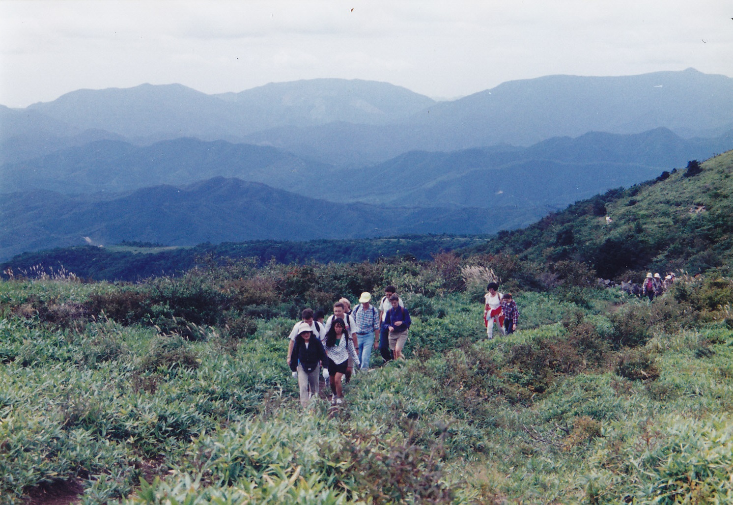
| Map | Hikers walk down from the top of Mt. Dogo. |
|
Mt. Dogo, located in the northeastern part of Hiroshima Prefecture, and bordering Tottori Pref., is mostly
beautifully grass-covered. On the third Sunday of May, local performing arts such as kagura (Shinto music dancing), taiko drum playing and so forth are performed on the 1,000-meter Tsukimigaoka Hill, as part of an event of the opening of the hiking season. (If it rains, these local performing arts are to be done at a gym in Kurokan Park at the foot of the mountain.) Drive up to the Tsukimigaoka Hill and park there. From there first take a 40-minute ascent to the 1,271-meter Mt. Iwahi. Then walk down and up to the 1,296-meter Mt. Dogo for 30 minutes. The area between the two peaks, stretching two kilometers, was an old pastureland. If the weather is good enough, you can see the 1,712-meter Mt. Daisen and the Sea of Japan from both peaks. The total walking time is about two hours. Getting there: Go by car. Take the Chugoku Expressway and get off at the Shobara exit. Then take Route 183 to Misaka, Saijo-cho. Follow the signboard that reads "道後山". Suggested schedule: Hiroshima(8:00)===(Chugoku Expressway)===Shobara===(Rte.183)===Misaka=== ===Dogoyama Tsukimigaoka Hill(10:30-10:50)---Mt. Iwahi(11:40)--- ===Mt. Dogo(12:20-13:20)---Tsukimigaoka Hill(14:00-14:30)===Misaka=== ===(Rte.183)===Shobara===(Chugoku Expressway)===Hiroshima(17:30) Note: To be safe, especially in winter, keep in mind not to go into the mountains alone, and be sure to go with a well-experienced hiker. |
|