| Top Page | Mountains, Valleys & Waterfalls |
|
Mt. Azuma (1,238m) |
|
|
|
|
Ikenohara, Hiwa Town, Shobara City | |
|
吾妻山 池の原 | |
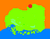
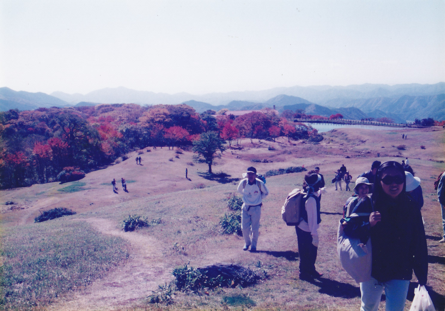
| Map | Hikers walk up on the grassy slope of Mt. Azuma. |
|
Mt. Azuma, located on the border between Hiroshima and Shimane prefectures, is a part of the
Hiba-Dogo-Taishaku Quasi National Park. There is a public hotel called Azumayama Kokumin Kyuka-mura or
Azumayama National Vacation Village, at the foot of the mountain, which is already 1,000 meters
above sea level. From the hotel take a one-hour ascent to the 1,238-meter Mt. Azuma from where you can see a 360-degree panoramic view. Walking up on the grassy slope with picturesque ponds and abundant alpine plants is enjoyable. The tinted autumn leaves are especially beautiful. In winter its mountain slopes turn into ski grounds. Azuma means "my wife". A god, Izanagi no mikoto, in Japanese mythology grieved over his wife's death. She had been a goddess, Izanami no mikoto, and was buried on the opposite Hibayama mountain. From the top of Mt. Azuma, he longed for her and called out, " my dear wife". It is said the origin of the mountain's name came from his referring to his wife. Getting there: Going by car is recommended. Get on the Chugoku Expressway and get off at Shobara. Take Route 432 to Moriwaki and drive up to Azumayama on Azumayama Forestry Road. Suggested schedule: Hiroshima(8:00)===(Chugoku Expressway)===Shobara===(Rte.432)=== ===Hiwa Moriwaki===Azumayama National Vacation Village(10:30)----- ---Mt. Azuma(11:30~13:00 )---Azumayama National Vacation Village(14:00-15:00)=== ===Moriwaki===(Rte.432)===Shobara===(Chugoku Expressway)===Hiroshima(18:00) Note: To be safe, especially in winter, keep in mind not to go into the mountains alone, and be sure to go with a well-experienced hiker. |
|